Title

Text if Needed
 

Confirm Trip Deletion

Are you sure you want to delete this trip?

Delete Cancel
User mode: Stranger/Member
Logged In: Not Logged In/Logged In
Trips:
Working trip index: 1
Trip edited: No
Trip has saves: No

Edit my Account info

Optional instructional text here

Create an Account

Some text here

Import Trip Plans - Decommissioned

You or someone using this computer or device previously created Trip Plans.
What should we do with these plans?
Make these Trip Plans part of my account
Discard these Trip Plans

Login

Some text here

Password Reset

Please enter the email you used to set up your account.
We'll send a link to use to reset your password.

Check Your Email

If there is an account with the email address , we will send you a link to reset your password

Create a Trip

Save your favorites to your own customizable trip

Check Your Email

We've sent a link to let you reset your password

Favorites

You currently have no favorites saved.

Save
  • Trip Template
See all of my trips
Create a New Trip
Sign In or Join to preserve your plans:
All Trips
  • Trip Template
 
 
Start Date:  

Day Planner

Drag saved items onto the calendar to plan your trip day by day
Trip Length:   

Adventures

Upcoming Trips

Add New Adventure
Make Active
Trip title
  • days
  • favorites
  • scheduled
  • Edit
  • Day Planner
  • View Favorites
  • Delete

Past Trips

Trip title
  • days
  • favorites
  • scheduled
  • Edit
  • Day Planner
  • View Favorites
  • Delete
Placeholder
Alert here
 
 
  • 38°
  • Heber Valley, Utah
  • Friday, April 19, 2024
  • 02:48 AM
Clear 38°
Saturday H: 56°
L: 30°
Sunny
Sunday H: 61°
L: 32°
Partly Sunny
Monday H: 65°
L: 33°
Partly Sunny
Tuesday H: 69°
L: 35°
Partly Sunny
Wednesday H: 66°
L: 33°
Mostly Cloudy

Coyote Canyon Trail

Coyote Loop Trail.

DIRECTIONS: 4 convenient trail heads: (1) A big parking lot at the intersection of Coyote Lane and Valley Hills Blvd; (2) on the eastern end of the UVU Wasatch Campus Parking lot; (3) on highway 32 just after mile marker 1 (on your right as you are heading east); (4) and a few miles further on highway 32, right after mile marker 4 (also on your right). 

DIFFICULTY: A wide variety of difficulty levels! All trailheads start out with a climb, but the 1st and 4th start out easiest. The south end of the trail has a lengthy stretch of "tornado switchbacks" which are very advanced. 

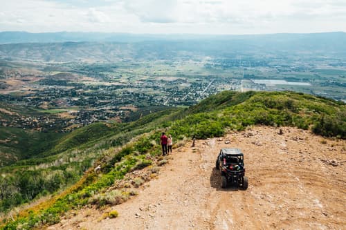
LENGTH: The entire loop is about 22 miles, various trails within the system are much smaller, of course.

AVERAGE HIKE TIME: You could spend all day exploring the loop, or just an hour enjoying the view.

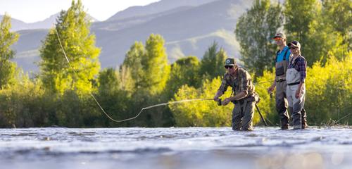
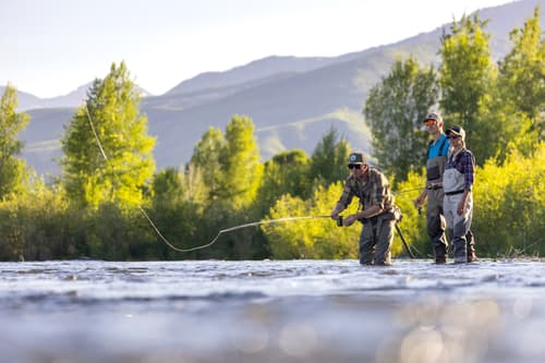
TRAIL USERS: Hikers, bikers, dogs, and horses

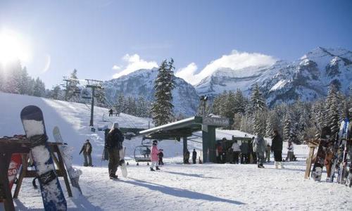
BEST TIME OF YEAR TO HIKE: Open year round, obey "muddy ground turn around"

COST: free

TRAIL CONDITIONS: Double track and single track

SUN EXPOSURE: Only a small part of the trail closest to the 4th trailhead has shade, the rest is fully exposed

WATER & RESTROOMS: Only the 2nd trailhead near UVU, sneak in and fill up your water bottles and use the bathrooms!

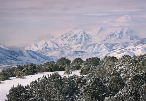
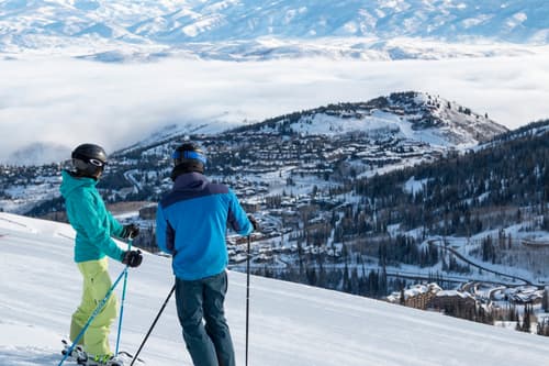
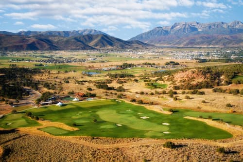
WATCH FOR: This trial is great for spotting Utah's state flower, the Sego Lily, in the spring. Beware of the cactus tho! You'll most likely see deer on the trail and the view towards the west is breath taking (this is a great place to learn the names of the peaks along the "Wasatch back". Starting to the south and moving north, as you look west, is Provo Peak, Cascade Peak, Mt. Timpanogos, Mill Canyon Peak, Little Matterhorn, White Baldy, Sugar Loaf, Sunset Peak, Pioneer Peak, Clayton Peak, Bonanza Flat, Jupiter Hill, and Lone Hill). We are so grateful to whomever owns this beautiful part of Heber Valley and so generously shares it for free with the public!


Customizable Directions

trip
To start planning your next : Drag and drop items here Or click the icon
trip
Start time:
Duration:

Loading...

Opening in a new tab...