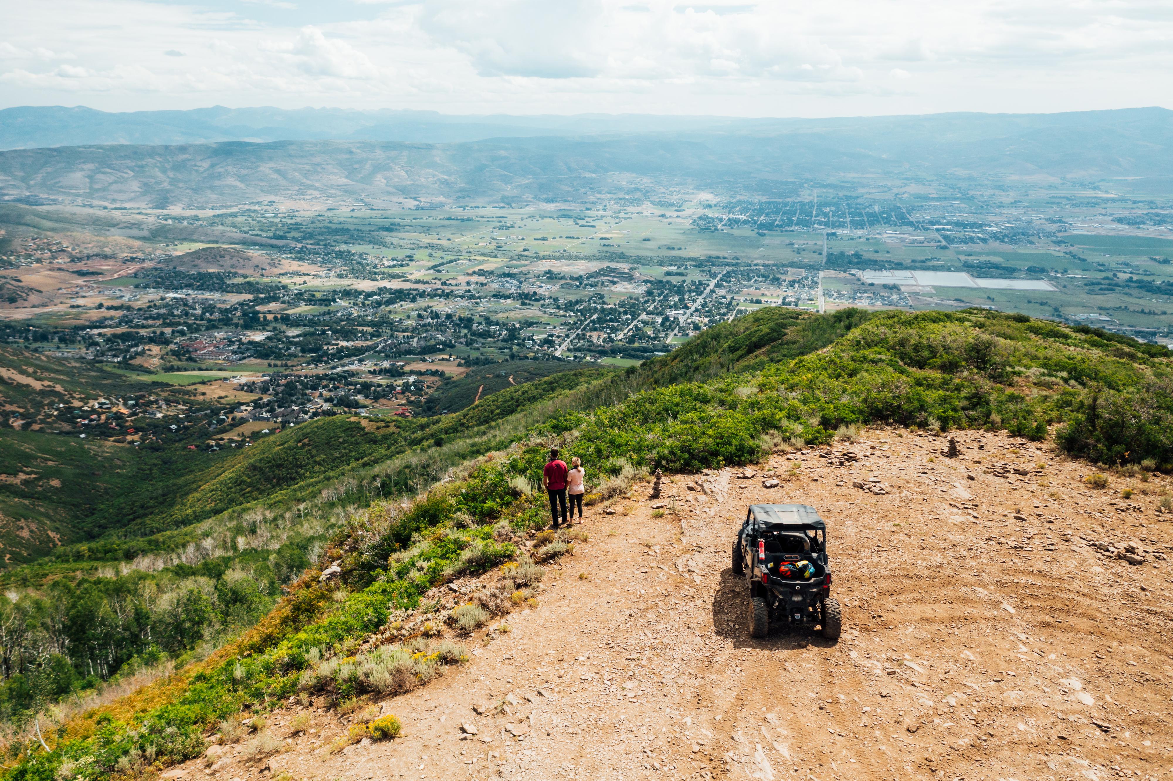
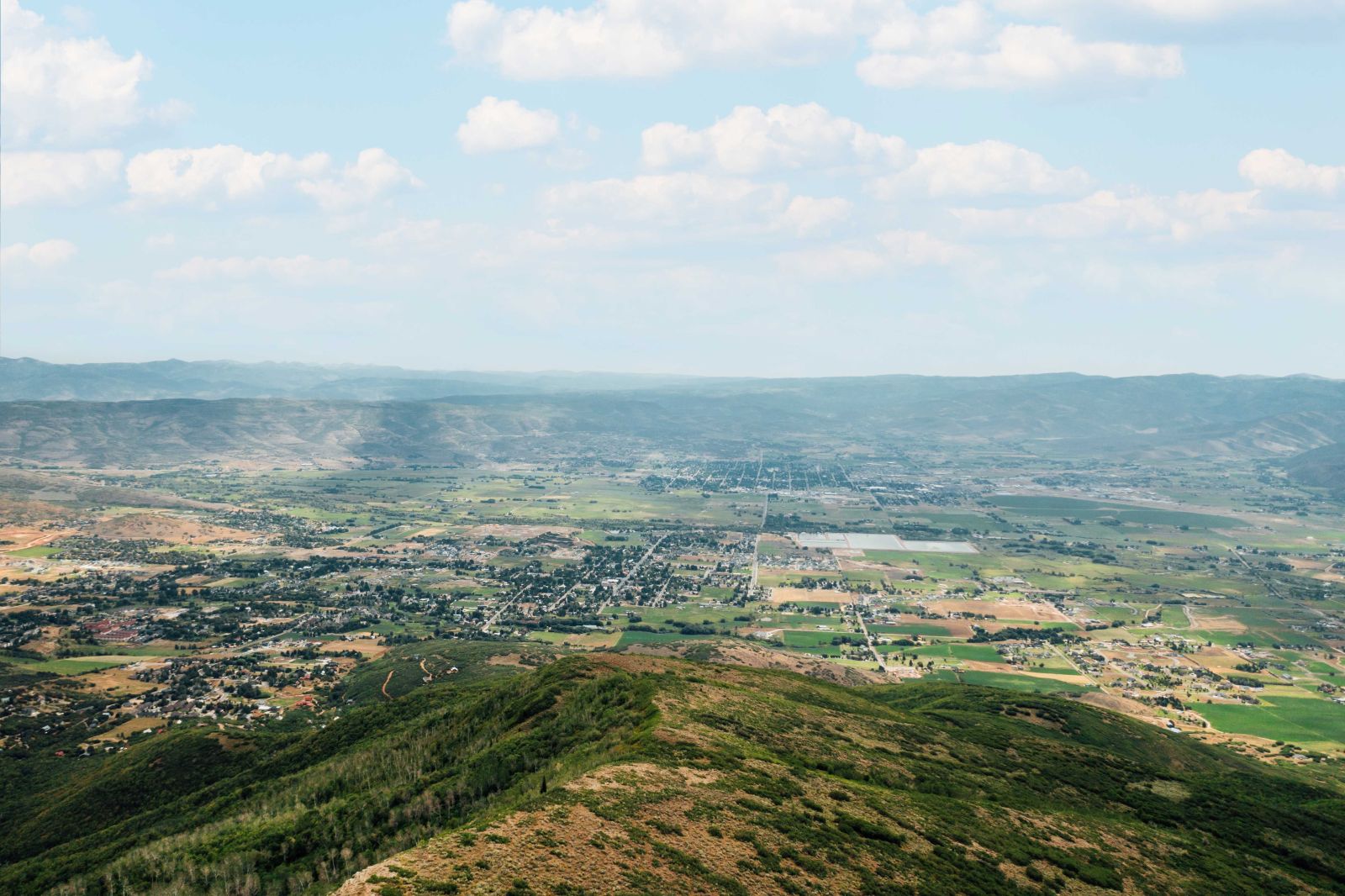
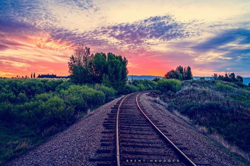
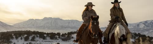
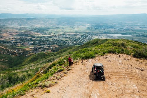
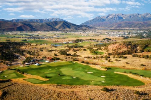
The Heber Valley, known for its famous "Heber Creeper" historic railroad and some of the best milkshakes around, boasts a world-class trail system featuring hundreds of miles of pristine off-highway vehicle routes.
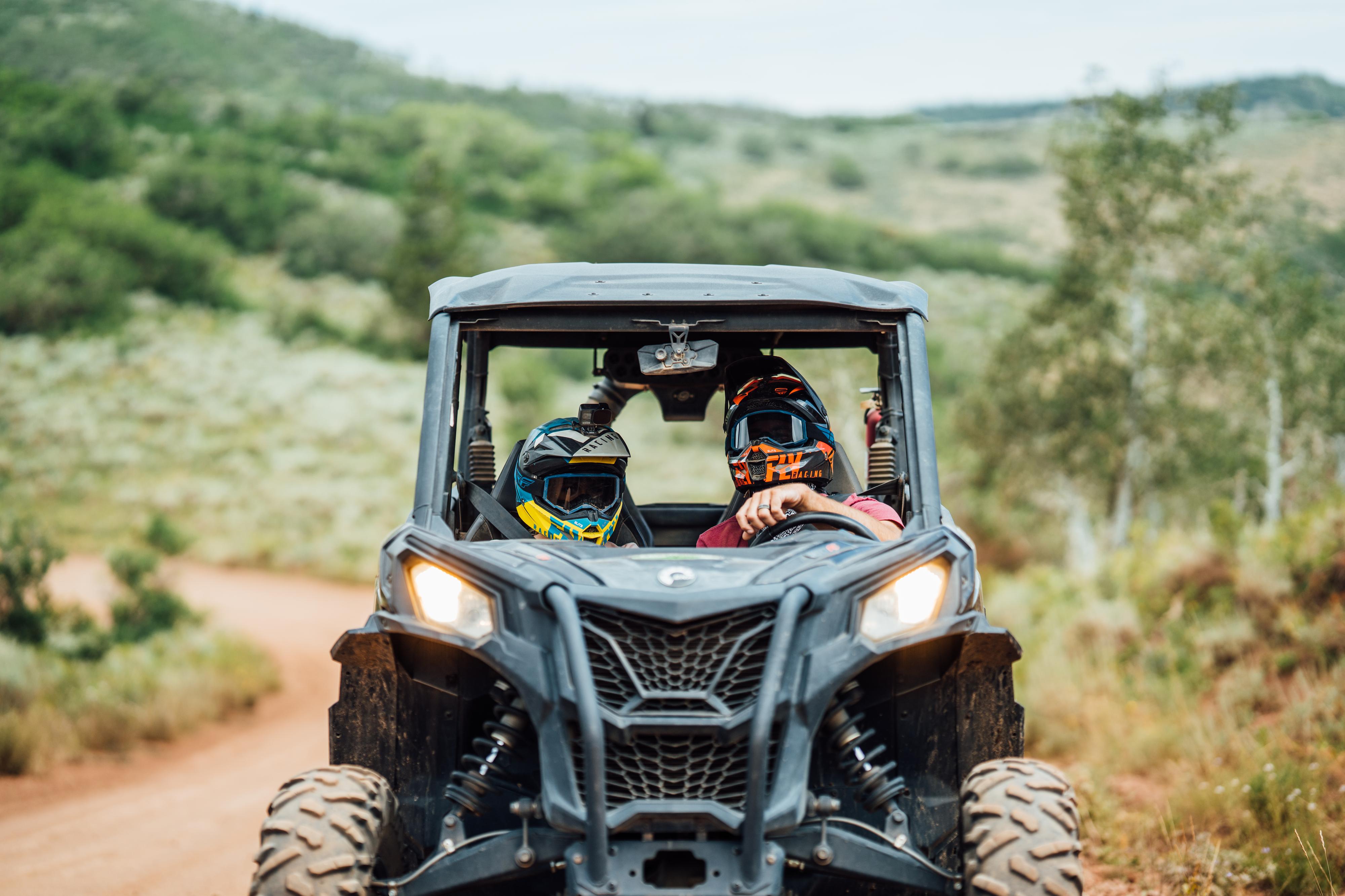
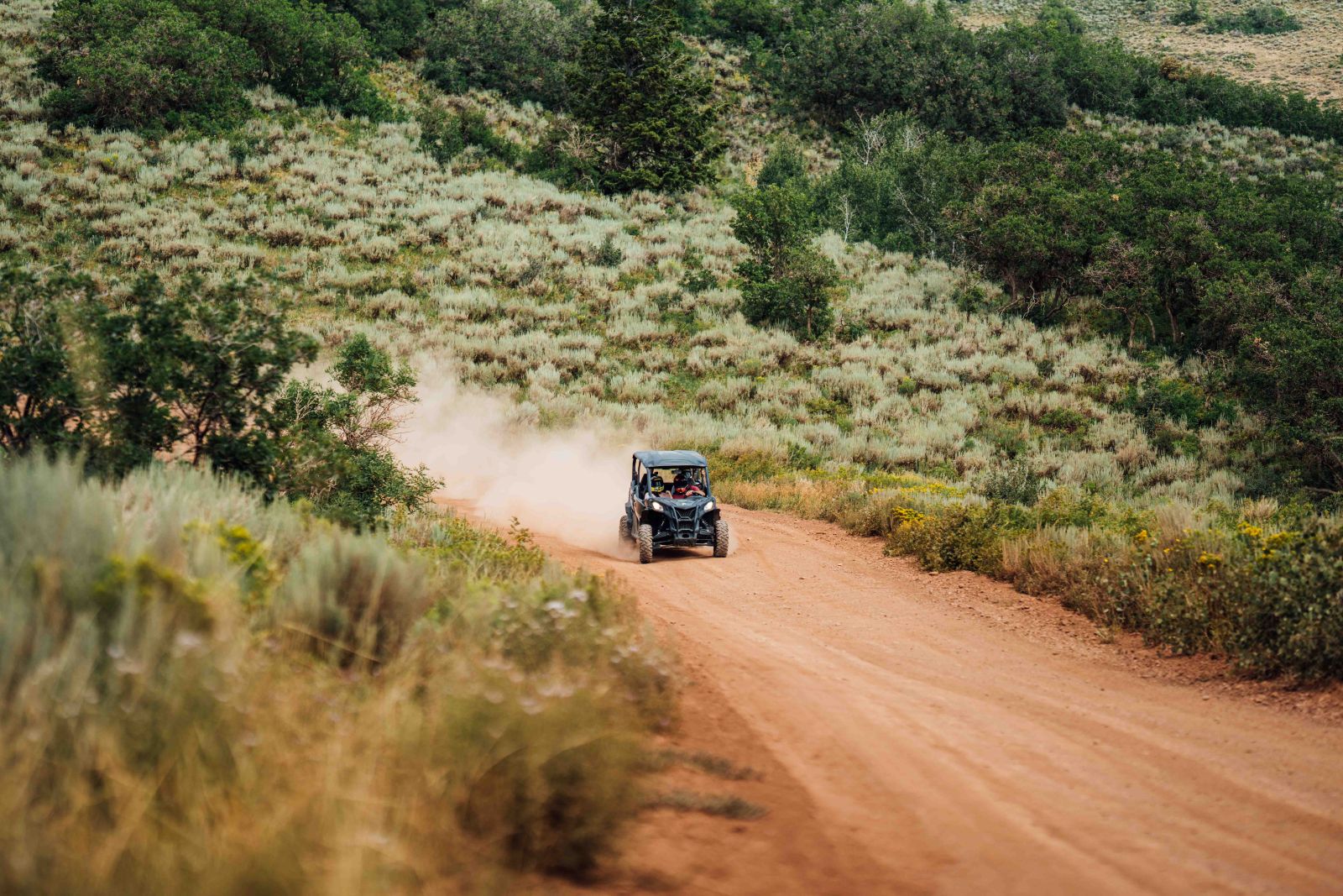
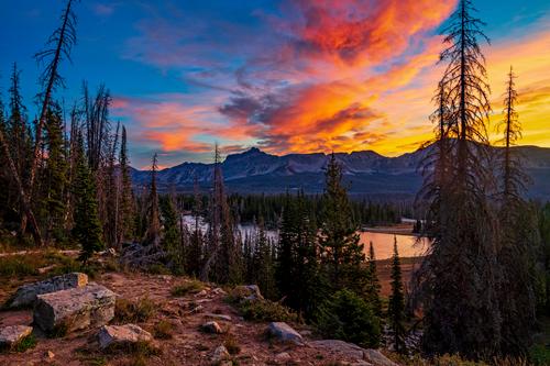
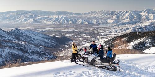
Heber Valley offers a vast trail system that encounters all types of terrain with ample variety for all rider skill levels. This mountain town is situated along the majestic Rocky Mountain region with rigid peaks and an abundance of trails to explore and play.
What makes the trail system so great is the beautiful scenery, cooler mountain temperatures, and convenient access to miles of adventure. But the proverbial "icing on the cake" for UTV enthusiasts is the quality of outfitters and trail experts that make their home — and your experience — even more enjoyable in Heber Valley. By providing you with unparalleled access to top-of-the-line machinery, current trail maps and conditions, expert guides, and the best-kept-secrets to maximizing your ride in Heber Valley!
Popular Areas
 Lake Creek: A bit of a longer drive, transport your OHV up this paved road to access the dirt road trail network located in the Uinta-Wasatch-Cache National Forest area. Lake Creek Road eventually splits into FR443 and trail 083 in the trail system. A national forest day-use fee is required in this area if you stop at any point.
National Forest Service Map Links
Free OHV Trail Map Download
Utah DNR OHV Maps
.jpg) Mirror Lake Scenic Byway: This scenic byway is a very popular destination for locals and visitors all summer long. Located a short 21-mile distance from Heber Valley, this iconic byway offers stunning mountain views with lots of trail spurs and campgrounds sprinkled along the route. Dispersed camping is also offered throughout the national forest area. There are a handful of OHV-specific trails in this area. A national forest day-use fee is required if you stop at any point.
Mirror Lake Scenic Byway: This scenic byway is a very popular destination for locals and visitors all summer long. Located a short 21-mile distance from Heber Valley, this iconic byway offers stunning mountain views with lots of trail spurs and campgrounds sprinkled along the route. Dispersed camping is also offered throughout the national forest area. There are a handful of OHV-specific trails in this area. A national forest day-use fee is required if you stop at any point.
National Forest Service Map Links
Free OHV Trail Map Download
.jpg) Strawberry Valley: A short 25-minute drive southeast from Heber City, lies the sweeping floor of Strawberry Valley. With the fifth largest reservoir in the state - Strawberry Reservoir - this area has a number of streams, inlets, and watershed areas, as well as ample water recreation at the lake. The acreage surrounding the reservoir provides excellent access to trails for multiple types of users. Please be aware that you may encounter other users on the trails, so heed caution in popular areas and use correct right-of-way when passing others on the trails. Much of this area is located inside the Uinta-Wasatch-Cache National Forest Service, so a day-use fee is required if you stop at any point in the forest service boundary.
Strawberry Valley: A short 25-minute drive southeast from Heber City, lies the sweeping floor of Strawberry Valley. With the fifth largest reservoir in the state - Strawberry Reservoir - this area has a number of streams, inlets, and watershed areas, as well as ample water recreation at the lake. The acreage surrounding the reservoir provides excellent access to trails for multiple types of users. Please be aware that you may encounter other users on the trails, so heed caution in popular areas and use correct right-of-way when passing others on the trails. Much of this area is located inside the Uinta-Wasatch-Cache National Forest Service, so a day-use fee is required if you stop at any point in the forest service boundary.
Utah DNR OHV Maps
Strawberry OHV Map
Strawberry Peak OHV Map
BLM Utah Interactive Map
National Forest Service Map Links
Free OHV Trail Map Download
 Uinta-Wasatch-Cache National Forest: This large swath of forest service area spans hundreds of miles on almost all sides of Heber Valley. The mountainous terrain and abundant lakes invite visitors to hike, camp, fish, mountain bike, backpack, and ride off-highway vehicles in the summer months. Please be aware that you will likely encounter other users on the trails, so heed caution in popular areas and use correct right-of-way when passing others on the trails. A forest service day-use fee is required in this area if you stop at any point.
National Forest Service Map Links
Free OHV Trail Map Download
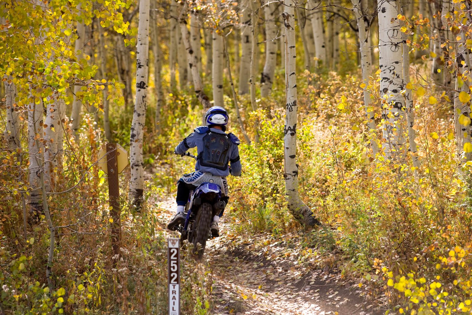
 Wasatch Mountain State Park: As the second largest state park in Utah with nearly 23,000 acres of terrain, Wasatch Mountain State Park is a favorite access point to the Mill Canyon OHV area and expansive forest service surrounding it. Many trails serpentine over hills and through groves of Aspen trees. A state park pass or day-use fee is required in the state park area and/or a forest service day-use fee is required if you stop at any point.
Utah DNR OHV Maps
Mill Canyon OHV Trail Map
.jpg) Wolf Creek Highway: A portion of the Uinta-Wasatch-Cache National Forest area is accessed along Hwy-35 from Francis and Woodland east to Duchesne. About 15 miles east on Hwy-35 is the Mill Hollow Road (FR054) connection and turnoff. This route will take you past Mill Hollow Reservoir and the surrounding area popular for both camping and day-use. From this point, OHV riders can enjoy access to a large trail network that lies to the south of Hwy-35. Another five miles up Hwy-35 is Duchesne Ridge Road (trail 091) which offers another great OHV access point and Wolf Creek Campground.
Wolf Creek Highway: A portion of the Uinta-Wasatch-Cache National Forest area is accessed along Hwy-35 from Francis and Woodland east to Duchesne. About 15 miles east on Hwy-35 is the Mill Hollow Road (FR054) connection and turnoff. This route will take you past Mill Hollow Reservoir and the surrounding area popular for both camping and day-use. From this point, OHV riders can enjoy access to a large trail network that lies to the south of Hwy-35. Another five miles up Hwy-35 is Duchesne Ridge Road (trail 091) which offers another great OHV access point and Wolf Creek Campground.
National Forest Service Map Links
Free OHV Trail Map Download
Important Tips & Information
- Be sure to download trail maps! Cellular reception is spotty at best in most of these destinations. Having an area map downloaded with your GPS coordinates plugged in can save you from getting lost or on the wrong trail when you are in the backcountry.
- Pack water and snacks. There won't be any services or convenience stores in most of these areas. Having ample water and snacks on hand is highly recommended.
- Take sunblock and bug spray. Be sure to take these with you and apply often. These higher elevations means you can burn faster. And mosquitoes thrive in many of these locations, particularly near water sources.
- Fuel up. Be sure to have a full tank before you head out. And if you can, pack extra fuel for your OHV. With hundreds of miles of connected trails and no cell service, you want to play all day and not get stranded in the remote wilderness areas.
- Tell a friend. As a good practice, share your approximate destination with a friend or family member not traveling with you. Let them know when you head out and be sure to let them know when you return. It's a good idea in case something happens and you need help - someone will know your rough whereabouts.
- Leave no trace! This important tip impacts you, other visitors and users, and the land directly. Get all the low-impact and no-impact tips here!
Plan Your Next OHV Trip
Whether you are looking for an adrenaline thrill or a relaxing scenic ride, Heber Valley is a great place to be. With so many options close by, our guests leave with a big wide smile and already looking forward to their next adventure on these trails. Use the convenient "Trip Planner" tool (the orange button on the left of the screen) to build your custom trip, and even share it with your group. Plan ahead, stay safe, and have a great time. Explore more here!


 H: 51°