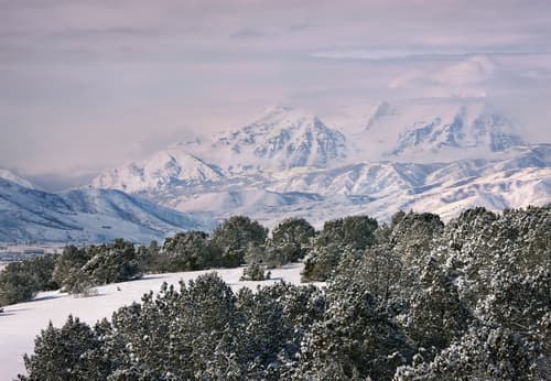
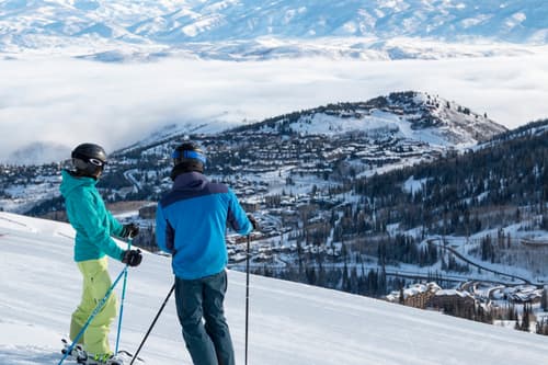
This well-maintained loop trail climbs through conifer and aspen forest to reach a high plateau above Daniels Canyon. The trail crosses the plateau through a maze of quaking aspen and offers scenic views across Daniels Canyon and as far as Strawberry Reservoir.
Signs along the trail identify plants, trees, and wildlife habitat. The entire loop is approximately four miles with a moderate climb to the ridge.
Access this trail in Lodgepole Campground, 16 miles southeast of Heber City on US Hwy 40. Parking is limited and the trailhead is located between loops A and B in the campground. Check in with the camp host for suggested parking and locating the trailhead. Restrooms are available in the campground.
Lodgepole Campground, nestled in the trees, is ideal for an overnight stay.
Foreman Trail
DIRECTIONS: From Heber, go south on Highway 40 (about 18 miles) to Daniel's Summit. Go to the north end of the parking lot to the metal gate. Follow the trail uphill (and stay to the left) for .8 miles to connect with the Foreman Trail.
DIFFICULTY LEVEL: Moderate to difficult (lots of fallen trees on the trail add extra obstacles)
LENGTH: 5.5 miles from Daniel's Summit, about a 4 mile loop if you start from Lodgepole Campground
AVERAGE HIKE TIME: To complete the loop would take at least 3 hours with kids, but in-and-out is also a great option
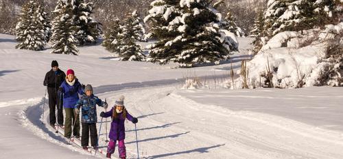
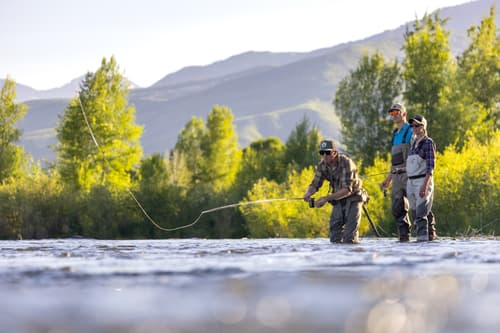
TRAIL USERS: Hikers, bikers, horses, and dogs
BEST TIME OF YEAR TO HIKE: We hiked this trail in June and were so impressed with the flowers and greenery. This trail is open all year long.
COST: free
TRAIL CONDITIONS: There are several streams to cross and fallen logs to go over and around. One of our children hiked in Chacos, but we would recommend shoes because the trail can be rough
SUN EXPOSURE: This trail is mostly in the forest with lots of shade
WATER: No drinking fountains, but Daniel's Summit has a restaurant/convenience store
RESTROOM: None at the trailhead, but Daniel's Summit lodge/restaurant has some
WATCH FOR: Stinging Nettle! Make sure you and your children can identify stinging nettle and stay clear of it (we saw LOTS of it in June). There are also informative signs along the trail with interesting facts about native plants and trees.