

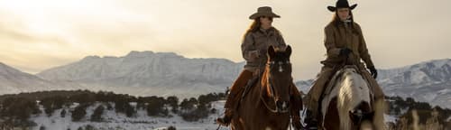

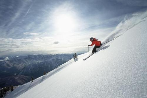
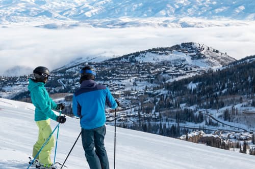


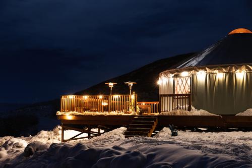


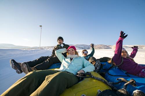


Your Ideal Ski Vacation Basecamp
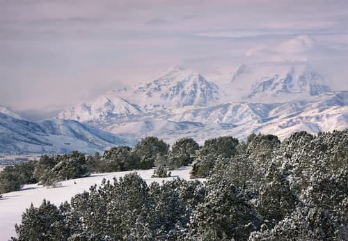
Tucked neatly between the premier skiing of Deer Valley East Village (only 10 minutes(opens in new tab) away) in Heber Valley, Deer Valley Resort Snow Park (only 20 minutes(opens in new tab) away) and Park City Mountain Resort (25 minutes(opens in new tab) away) in Park City, and the iconic Sundance Mountain Resort (a short 22 minutes(opens in new tab) away) in Utah County, Heber Valley is the perfect place to create the ski trip of your dreams. Quick and easy ski access without the traffic and crowds.
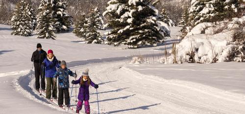
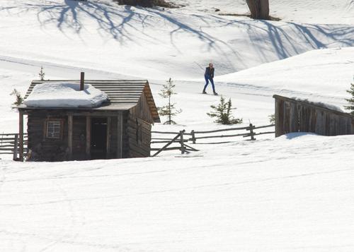
Explore the amazing NORDIC SKIING options available in Heber Valley.