High Uintas
- Location:
- Northeast of Heber Valley
- Length:
- 7.0 miles
- Difficulty:
- Intermediate
- Time:
- 7 hours
- Trailhead Elevation:
- 9600 feet
Description
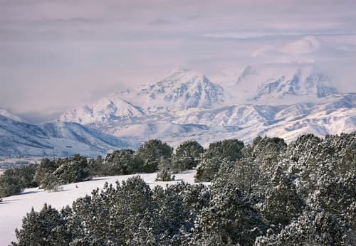
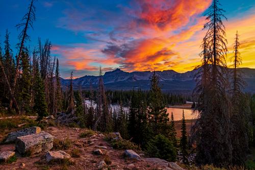
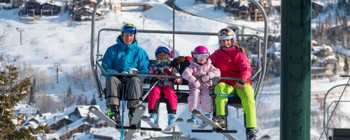
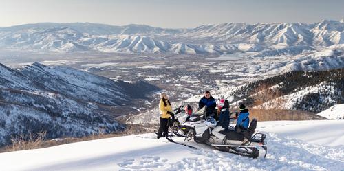
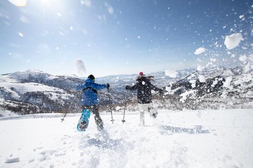
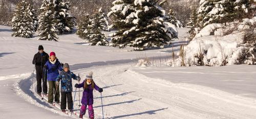
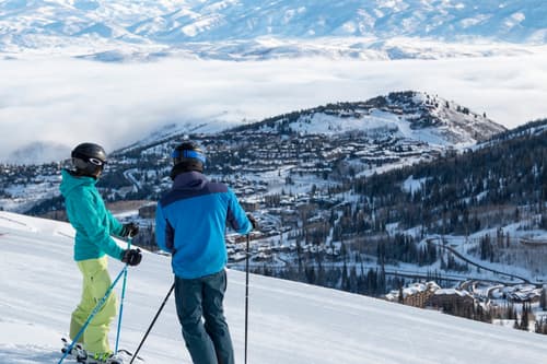
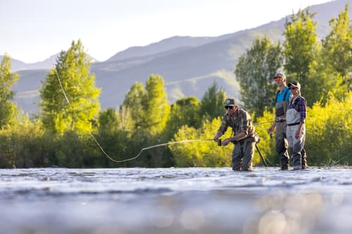
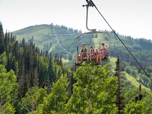
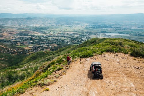
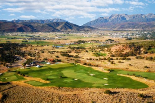
Historic glacial activity carved long wide valleys out of these mountains that now boast miles of trails along streams to high mountain lakes and meadows. The Forest Service maintains a network of trail system through these mountains that can be done in day-rides or multi-day pack trips.
Map | Directions
The Mirror Lake US Hwy 150, east of Kamas, ascends over Bald Mountain Pass to access the countless trailheads into the wilderness. Stop in at the Kamas Ranger District office (435-783-4338) on US Hwy 150 in Kamas for maps of trails, mileages and suggested routes.


