Horseback Riding
Equestrian trails near Heber, Strawberry Valley ...
Heber Valley is a mecca for horse enthusiasts. When driving through the valley, you can't miss the sight of horses in every pasture. 
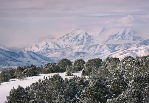
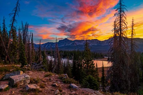
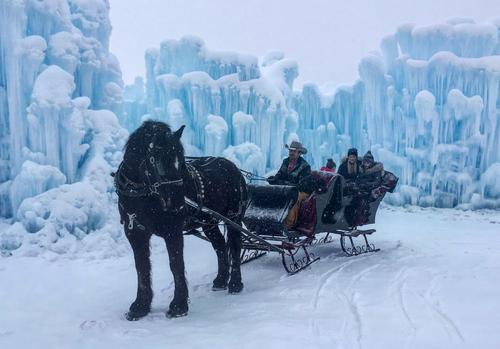
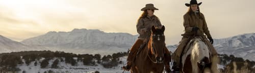
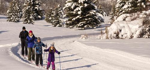
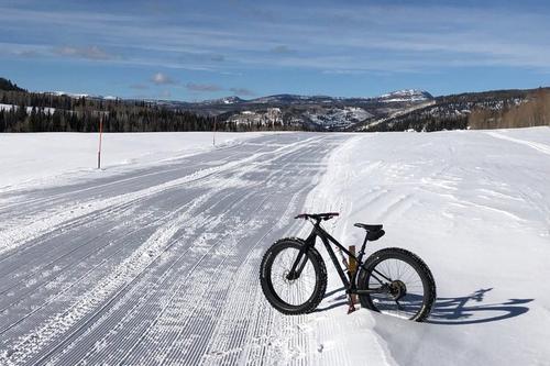
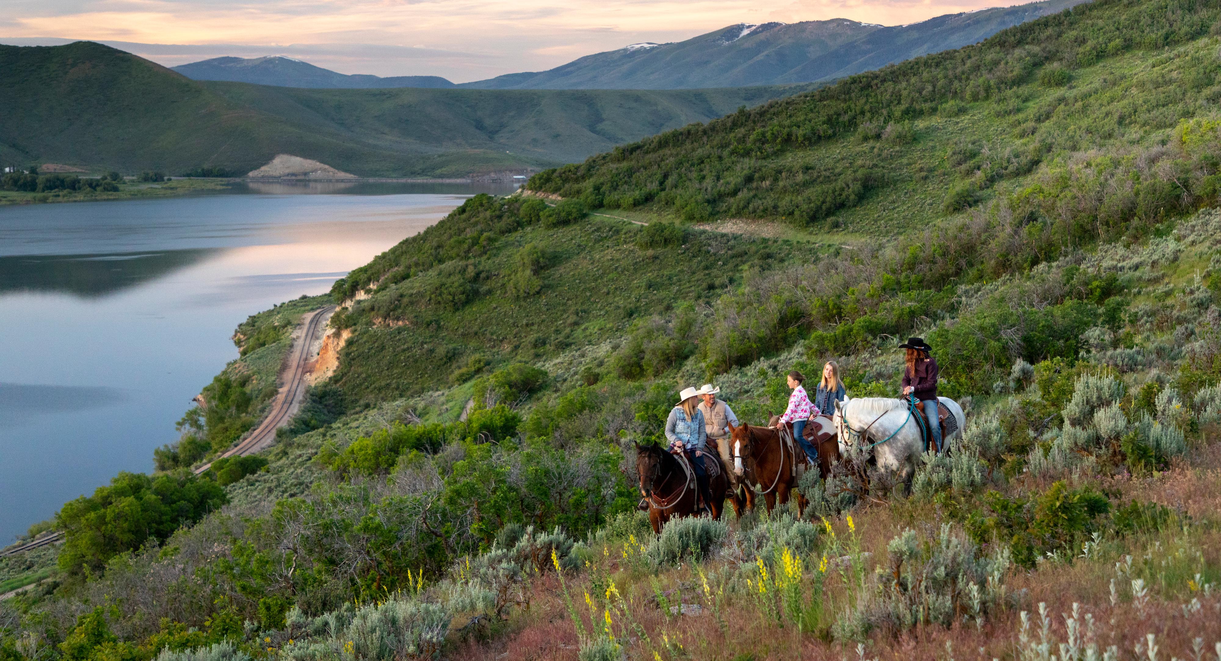
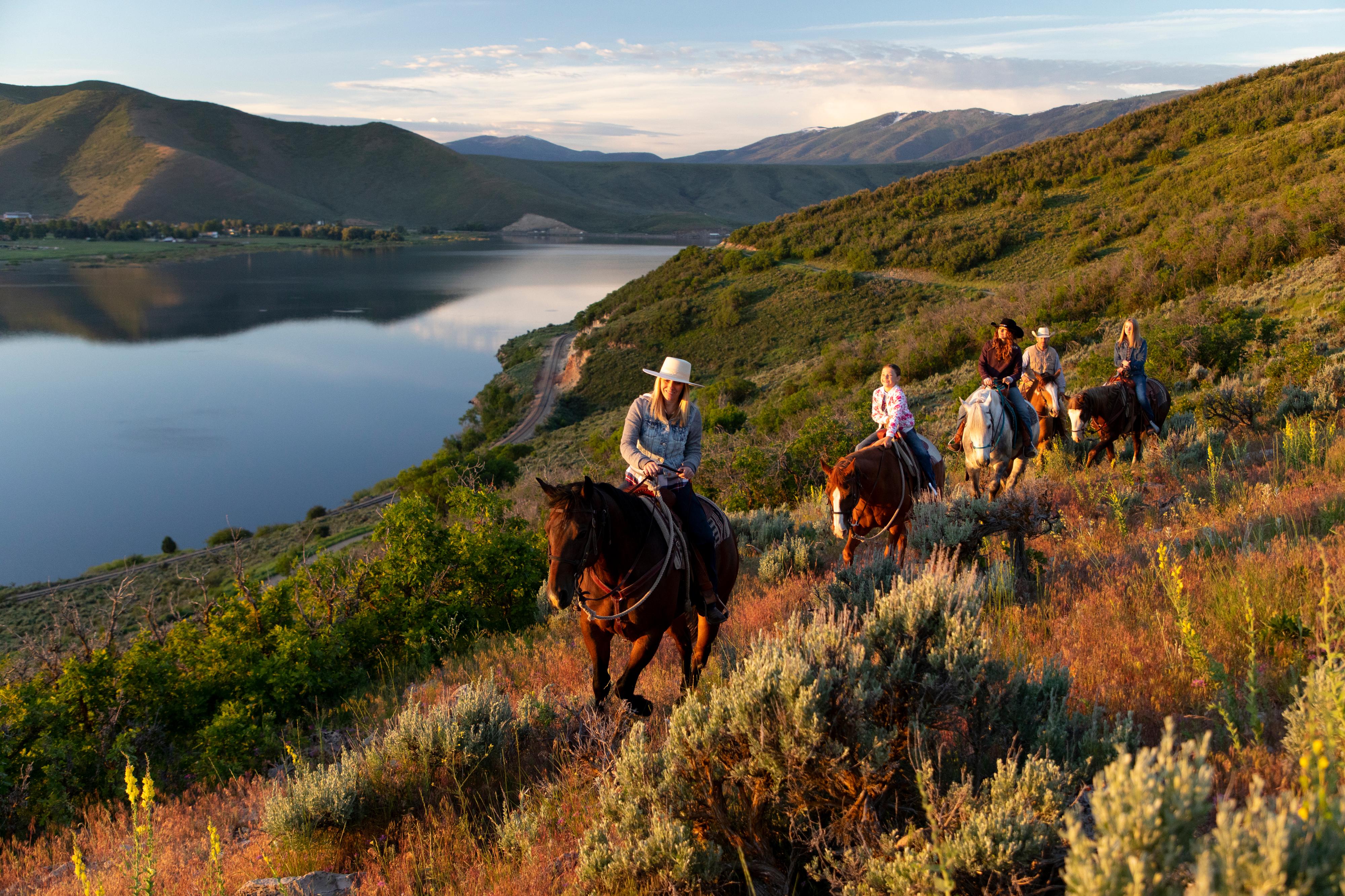
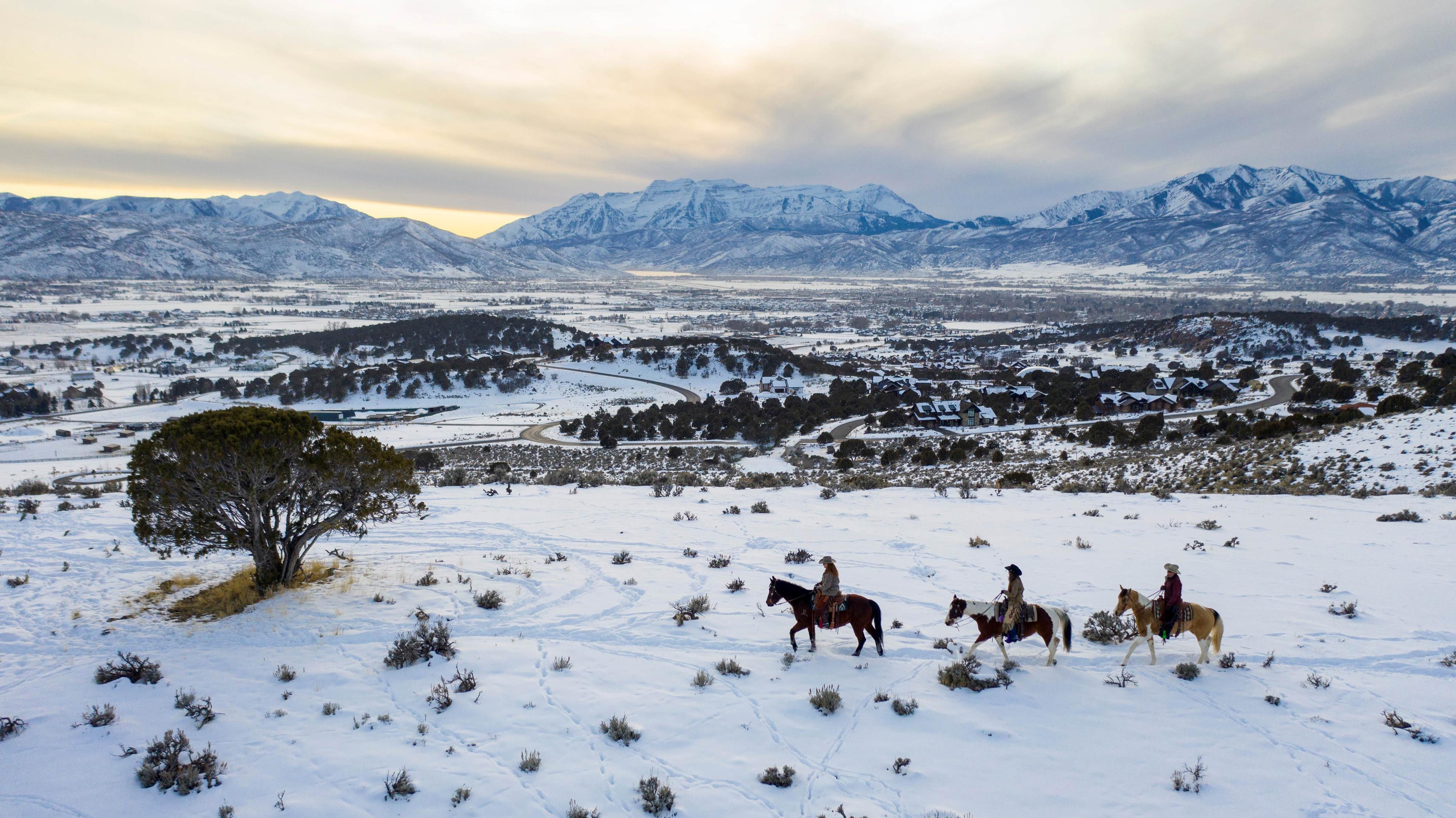
The mountains surrounding Heber Valley offer some of the best riding terrain around, spectacular scenery, and a multitude of wildlife. Regardless of your skill level, you can find the ride that suits you.
The rugged terrain of the Wasatch Mountains offer some challenging climbs. The flattop meadows of Strawberry Valley are ideal for beginning riders, and endless miles of trails through the Uintas are a horsepacker's paradise. Most National Forest land is open to horse camping outside of developed campgrounds. Currant Creek Campground on the Uinta National Forest east of Heber City has one loop designed for campers with horses. Each site in this loop offers mangers, troughs, hitching rails, access to a loading ramp and riding trails.
For outfitters and guides in the Heber Valley area that offer pack trips and guided rides, select Horseback Guides & Outfitters.
Click an arrow to show more levels of detail
The High Uintas Wilderness Area offers some of the best horseback riding and backpacking in the area. North and east of Heber Valley, this east-west running mountain range is dotted with lakes, covered with thick conifer forest, and accented by rocky peaks, many over 11,000 feet in elevation.
Historic glacial activity carved long wide valleys out of these mountains that now boast miles of trails along streams to high mountain lakes and meadows. The Forest Service maintains a network of trail system through these mountains that can be done in day-rides or multi-day pack trips.
The Mirror Lake US Hwy 150, east of Kamas, ascends over Bald Mountain Pass to access the countless trailheads into the wilderness. Stop in at the Kamas Ranger District office (435-783-4338) on US Hwy 150 in Kamas for maps of trails, mileages and suggested routes.
This lengthy 11-mile one-way trail makes for a great overnight backpack trip or a long full-day hike (or horseback ride) with a vehicle parked at each end of the trail.
The trail follows the Little South Fork of the Provo River from atop the Duchesne Ridge down to Utah Hwy 35 east of Woodland. The Little South Fork trail also connects with Willow Hollow trail to make a 10-mile loop hike. The Willow Hollow segment follows Willow Creek and includes about one mile of jeep road to connect with Little South Fork Trail. The terrain is mostly forested hillside and broad river bottoms, making this a very scenic hike. Several open meadows along the way provide ideal campsites for backpackers. Difficulty is moderate, primarily due to length.
To reach Little South Fork trail, follow Utah Hwy 35 just east of woodland to a turnoff on the right that is paved to a cattle guard. From the cattle guard, a dirt road accesses the trailhead. This road crosses private property; respect fence lines along the roadside and close all gates behind you. To reach the upper access to Little South Fork, continue on Utah Hwy 35 past the lower trailhead to the turnoff for Mill Hollow Reservoir (Forest Road #096). Take this road past the reservoir to the junction with Forest Road #096 on the right. Turn right on #096 and watch for a small trail sign on the right side of the road, just past the turnoff. To reach the upper access to Camp Hollow, take Lake Creek Road east from Heber City to the Uinta Forest boundary. Turn left at the Boundary sign and follow this road to a “T” intersection. The Camp Hollow trail is straight ahead through this intersection. Follow blazes to remain on these routes where deadfall may obscure trails. Detailed maps of this area are available at the Heber Ranger District office just east of Heber City on US Hwy40 (435-654-0470)
Strawberry Valley offers a variety of hiking trails through a conifer and aspen forest or along the reservoir shoreline.
Cool summer temperatures in this high mountain valley make for some delightful hikes. For detailed maps and recreation information stop in at the Strawberry Visitor Center, located just off US Hwy 40, 23 miles East of Heber City (435-548-2321). At the Visitor Center a short boardwalk nature trail follows theStrawberry River and offers excellent opportunities to view fish and wildlife.
1. Follow US Hwy 40 southeast of Heber City to Strawberry Valley
2. Turn at the Strawberry Visitor Center
3. Follow the West Strawberry Road 14 miles to Renegade boat ramp and trailhead
Strawberry Area Trail
UT
The Great Western Trail is a continuous cross-country trail stretching from Canada to Mexico, through Idaho, Utah and Arizona. The trail is a combination of single-track trails and dirt roads, traveling through some of the most spectacular scenery in Utah and Wasatch County in particular.
The Great Western Trail is a continuous cross-country trail stretching from Canada to Mexico, through Idaho, Utah and Arizona. The trail is a combination of single-track trails and dirt roads, traveling through some of the most spectacular scenery in Utah and Wasatch County in particular. Through Wasatch County, the trail follows the county line atop the ridges and peaks of the Wasatch Mountains offering breathtaking panoramic views and overlooking fascinating historic mining areas. The trail continues south, skirting Mount Timpanogos wilderness area with its waterfalls, wildflower meadows, snowfields, and rocky landscape, then drops into the forested South Fork of Provo Canyon. From here, it's another climb to Strawberry Ridge overlooking Strawberry Reservoir, countless mountain peaks, ridges, and deep canyons. Wildlife is abundant along the length of this route. Difficulty is moderate to advanced where the trail traverses some challenging terrain.
This portion of the Great Western Trail is 65 miles long and can be accessed at several points so distances can be varied. Two recommended points of access are from Wasatch Mountain State Park and Strawberry Valley. From Wasatch Mountain State Park, take Snake Creek Road left past the WMSP Visitor Center to the ridgeline where it intersects the Great Western Trail, or find a parking spot in the canyon and ride to the ridge to meet the trail. In Strawberry Valley, turn right from US Hwy 40 at the visitor center turnoff and travel approximately one mile to Clyde Creek road on the right. Turn onto this dirt road and follow it to the ridgeline where it intersects the Great Western Trail. From this point, the trail follows dirt roads both north and south before it picks up single-track trail again. For detailed maps of these areas contact Pleasant Grove Ranger District in Pleasant Grove at 435-785-3563 or Heber Ranger District, just east of Heber City on US Hwy 40 at 435-654-0470.
Other Information
Remember that weather at higher elevations can change suddenly and dramatically. Always be prepared with warm clothes, rain gear, plenty of water, high energy food, matches and a first aid kit. Remember to bring insect repellent. Let someone know where you are going and when you expect to return. Pack out everything you pack in and "leave no trace." Use only certified weed-free hay when packing in your own feed to minimize the spread of noxious weeds. Be familiar with backcountry horsepacking techniques.
For detailed maps and information contact Forest Service offices. Select Visitor Resources for contact details.