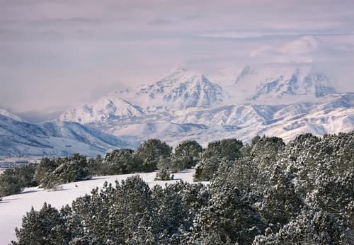
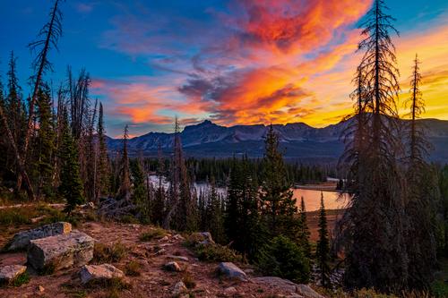
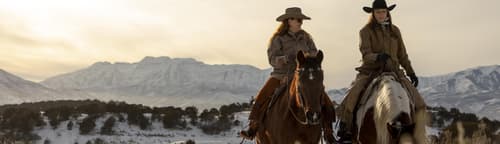
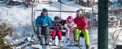
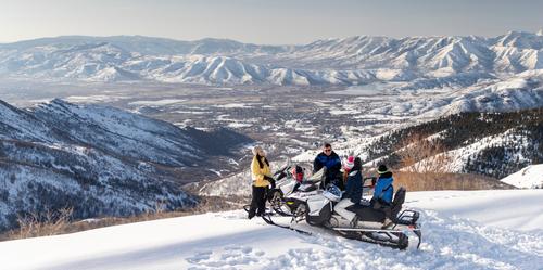
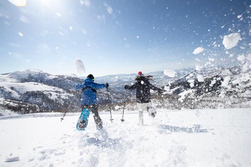
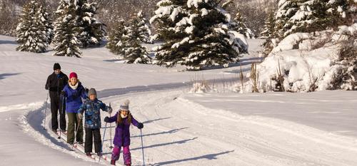
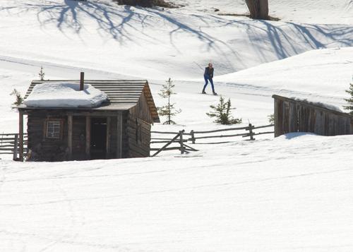
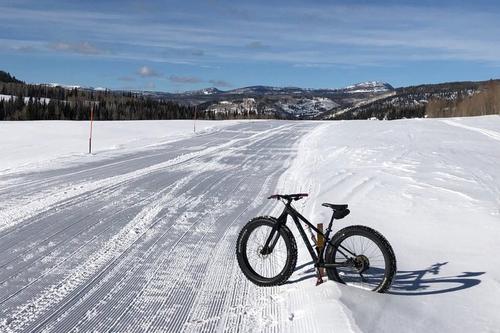
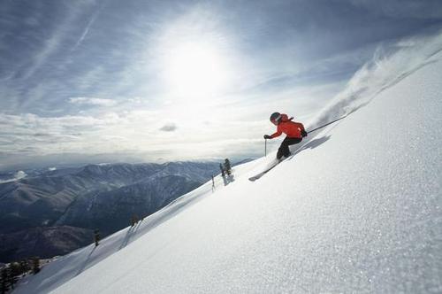
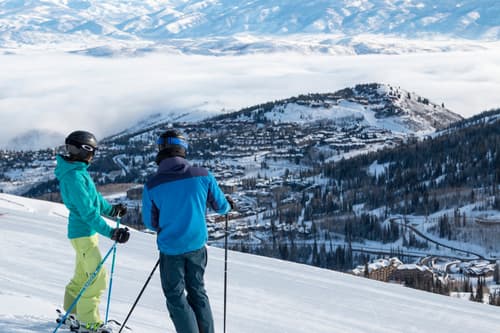
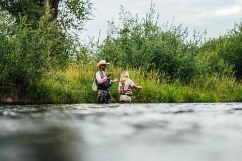
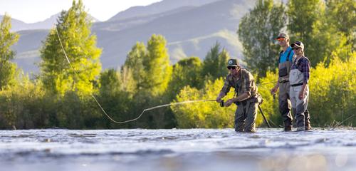
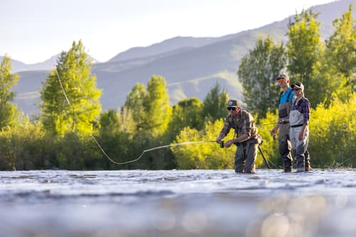
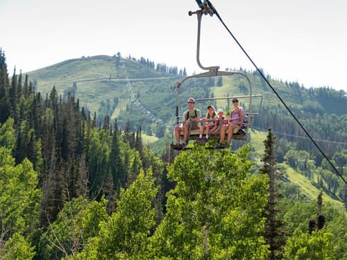
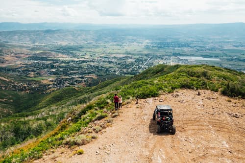
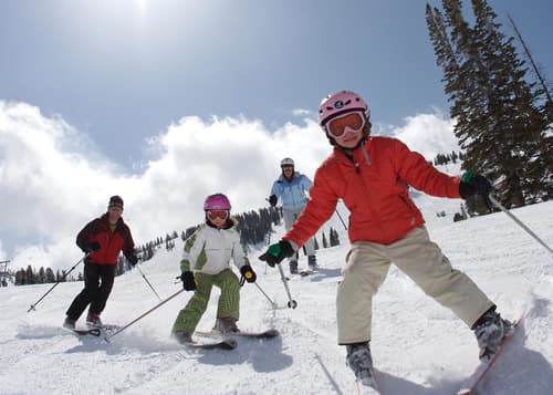
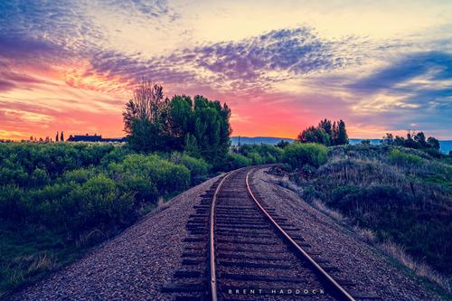
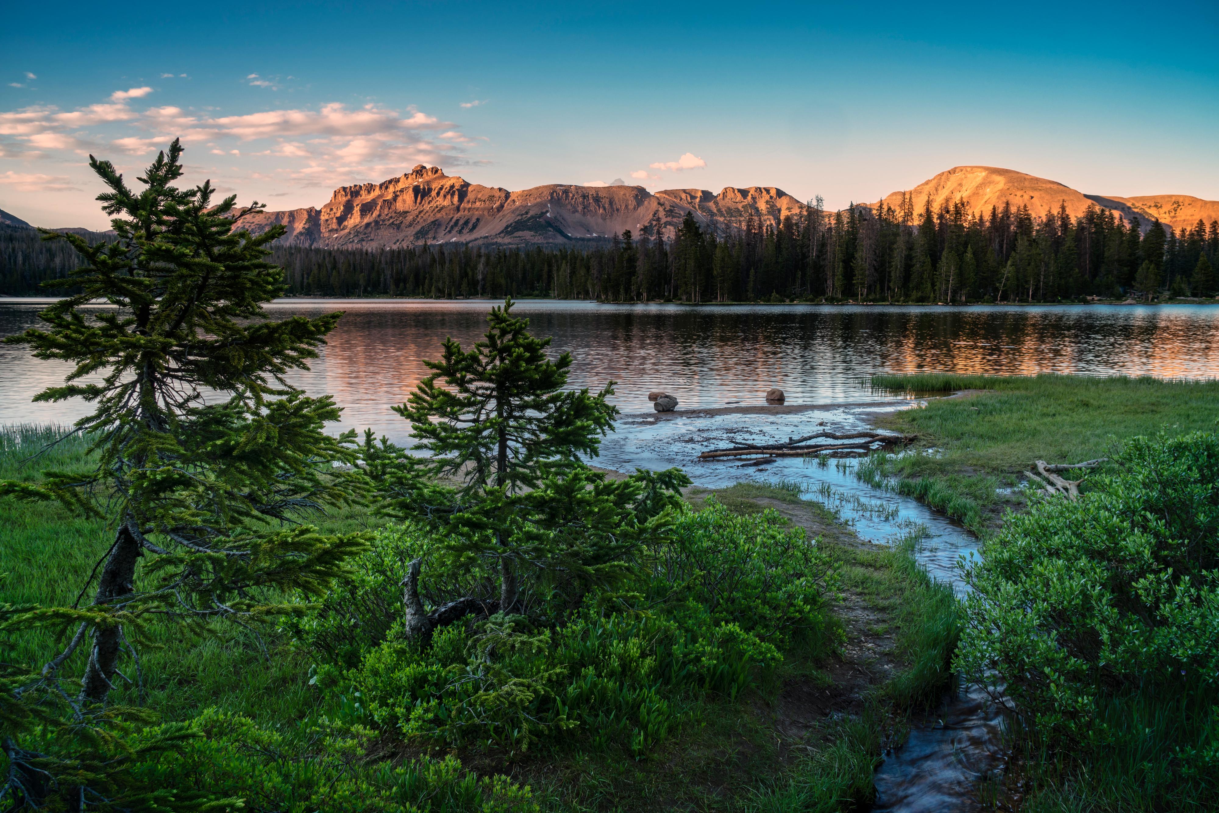
Scenic Drives

Mountain roads, beautiful lakes,...

Several paved and dirt roads travel in all directions from Heber Valley through alpine meadows and forested canyons, crossing rocky ridges and meandering streams. Don't forget your camera to capture incredible views and your binoculars to get a good look at the variety of wildlife that inhabit these mountains.

Mirror Lake, Strawberry Valley, Provo Canyon, and the Alpine Loop are all paved drives and recommended for any type of vehicle. Guardsman Pass, the Adventure Highway, and Cascade Springs are dirt roads and conditions vary.

Complete information on all of your options is presented below.

Click an arrow to show more levels of detail

Alpine Loop Scenic Backway

Paved, gravel 
24.0 miles 
1.0 hours 
The Alpine Loop Scenic Backway skirts Mount Timpanogos wilderness area through American Fork Canyon, climbs over a mountain pass, travels past Robert Redford's Sundance Resort, and descends into picturesque Provo Canyon.

This drive is a favorite during autumn when the reds and golds of maple, oak and aspen contrast sharply with a backdrop of evergreens. Timpanogos Cave National Monument is a worthwhile stop along the route and Cascade Springs makes a great side trip. The Alpine Loop is 24 miles of paved highway and the road to Cascade Springs is 7.5 miles one-way, also paved. From Cascade Springs, a gravel road can return you over the hill to Heber City.

The Alpine Loop is closed during winter months, although Sundance Resort is still accessible from US Hwy 189. Several campgrounds and picnic areas with restrooms and parking are provided along the highway. For more information on this drive, contact the Pleasant Grove Ranger District of the Uinta National Forest at 801-785-3563.

453370318

1. Take US Hwy Highway 189 southwest from Heber City toward Provo

2. Turn right onto Utah Hwy 92 at the Sundance turnoff


Alpine Loop
Uinta National Forest, UT
 

Cascade Springs

 
7.5 miles 
0.5 hours 
This short drive follows a dirt road from Midway over oak and maple covered hills into American Fork Canyon and Cascade Springs. The springs cascade down mountain slopes over a series of limestone terraces and pools.

A short half-mile nature trail wraps around the natural springs, their streams and waterfalls, along boardwalks and paved pathways. Signs along the trail explain the geology of this small natural wonder. A parking area and restrooms are available at the trailhead.

This drive through a mostly deciduous forest is delightful during fall and accesses the Alpine Loop Scenic Backway, which can loop back to Heber City via Provo Canyon. For more information on the Cascade Springs Utah scenic drive or the Alpine Loop Scenic Backway, contact the Pleasant Grove Ranger District of the Uinta National Forest at 801-785-3563

453370319

1. Take US Hwy Highway 189 southwest from Heber City toward Provo

2. Turn right onto Utah Hwy 92 at the Sundance turnoff


Alpine Loop
Uinta National Forest, UT

Guardsman Pass

 
7.0 miles 
0.5 hours 
This picturesque fall drive follows a dirt road from Midway through Wasatch Mountain State Park to the high ridgelines of the Wasatch Mountains. Red mountain maples and golden aspen amid dark evergreens highlight this road through Pine Creek Canyon.

This road is not plowed during winter - this is a summer/fall outing. During summer it takes you past fields of wildflowers, flanked by evergreens, aspen trees and other lush mountain foliage. The scenery is most spectacular during fall, when the aspens turn orange/yellow and oaks radiate hues of red. Views from the ridge overlooking Heber Valley, Snyderville Basin near Park City, and the Salt Lake Valley seem endless. From Bonanza Flat at the head of Pine Creek Canyon, one road branches right into Park City, past the Ontario Mine. The left branch continues over Guardsman Pass into Big Cottonwood Canyon and Brighton Ski Resort.

Big Cottonwood Canyon winds its way along towering canyon walls, following the creek, to reach Salt Lake Valley. The drive from Midway to Guardsman Pass is approximately 7 miles along a mostly gravel road with some steep drop-offs. Restrooms are available only at the Wasatch Mountain State Park Visitor Center in Midway or beyond Guardsman Pass in Big Cottonwood Canyon. To access Pine Creek Canyon and Guardsman Pass, stay to the right past the state park visitor center and travel northwest into the Canyon. For more information on this route, contact Wasatch Mountain State Park at 435-654-1791.

453370320

1. Head north on S Main St/US-189/US-40

2. Continue to follow US-189

3. Slight left toward I-80 W (Signs for Salt Lake)

4. Take the ramp onto I-80 W

5. Take exit 130 to merge onto I-215 S

6. Take exit 6 for 6200 S

7. Keep left at fork

8. Turn right toward E 6200 S

9. Turn left at W 6200 S

10. Turn left at E Big Cottonwood Canyon Rd/UT-190

11. Continue to follow UT-190

12. Turn left at E Big Cottonwood Canyon Rd/UT-152/UT-190

13. Continue to follow E Big Cottonwood Canyon Rd

14. Turn left at the Gaurdsmans Pass sign

15. This road will curve left and will switchback hard to the right

16. At  this elbow in the road there will be a dirt road

17. Follow to overlook


Guardsman's Pass
Wasatch Mountains
UT


Mirror Lake Scenic Byway

 
56.0 miles 
1.5 hours 
The Mirror Lake Scenic Byway is a spectacular drive, ascending well over 10,000 feet through the heart of the rugged Uinta Mountains which boast Utah's highest peaks. Countless lakes dot the landscape, nestled in trees against craggy mountain cliffs.

The views from Bald Mountain Pass are breathtaking, across endless miles of forest and ridgelines. These mountains support a variety of wildlife, frequently seen along the highway. From Kamas, the road follows the picturesque Provo River as it drops over boulders and falls from its headwaters in the Uintas.

A camera is a must on this drive! Don't miss the overlook at Provo River Falls where walking paths, restrooms, and picnic tables make for a great stop. Several campgrounds along the highway are available for overnight stays. Numerous pullouts access the river and are perfect for picnicking. Parking and restrooms are provided at several overlooks along the route. Various trailheads offer a chance for a short hike in the woods. The road is paved the entire length, but closed during winter due to the elevation and heavy snow accumulation.

A small fee is required when entering the Mirror Lake Scenic Byway for use of facilities on the route; however, there is no charge to simply drive the highway between Kamas and Evanston. The drive is 56 miles from Kamas to the Wyoming state line.

453370316

1. Head north at S Main St/US-189/US-40

2. Continue to follow US-189

3. Turn right at UT-32

4. Turn left at S State Rd 32/UT-32

5. Continue to follow UT-32

6. Turn right at E Center St/UT-150

7. Continue to follow UT-150


Mirror Lake Scenic Byway
wasatch-Cache National Forest
UT
 

Provo Canyon Scenic Byway

 
32.0 miles 
1.0 hours 
The Provo Canyon Scenic Byway follows U.S. Highway 189 southwest from Heber City past Deer Creek Reservoir into Provo Canyon. Steep limestone cliffs bank the deep, narrow canyon of the Provo River, where waterfalls descend over layers of strata before reaching the stream.

The occasional mountain goat can be spotted on these high cliffs with the help of binoculars. Bridal Veil Falls highlights the drive where parking, restrooms and a trail to the falls make for a delightful stop. This well-photographed site can be captured from an overlook on the highway or at the base of the falls.

The wide flatwater of the Provo River, consistently full of fishermen, creates a feeling of peace along this drive. Above the canyon, the highway passes Deer Creek Reservoir, tucked at the base of towering Mount Timpanogos and dotted with sailboats and sailboards most days of summer. The reservoir's sandy beach is a fun stop and a campground on the shoreline is available for overnight stays. Picnic areas with restrooms are available at Deer Creek and near the lower end of the canyon. Several pullouts along the highway access the Provo River. This paved route is 24 miles from Heber City to the mouth of the canyon near Provo. The lower portion of the canyon is four-lane separated highway and the upper portion is under construction, expanding to a multi-lane highway; expect some construction delays. The Alpine Loop Scenic Backway can also be reached from this highway by turning off at the Sundance exit onto State Route 92. US Hwy 189 can be accessed from the south end of Main Street in Heber City

An overview of Provo Canyon, taken from the road, approximately one mile north of the Sundance turnoff. The river is widely known as one of the best brown trout fisheries in the nation.

453370317

1. Head southwest on Ut-189 toward W 2400 S

2. Continue on US-189


Provo Canyon Sceninc Byway
Provo, UT 84601

Strawberry Valley

 
20.0 miles 
1.0 hours 
This drive travels through scenic Daniels Canyon on US Hwy 40 east of Heber City into Strawberry Valley, a peaceful high mountain plain surrounded by rolling hills of conifer and aspen. The valley floor is covered with meadows of grasses and sage that become a splendor of wildflowers during summer m...

Don't miss the spectacular display of yellow, red, purple and orange that color the hillsides during July and even into August.

In the center of this valley is an expansive reservoir, covering over 17,000 surface acres and fed by several meandering tributary streams. A mind-boggling abundance and diversity of wildlife are attracted to Strawberry Valley during summer, making this an unbeatable drive for watching wildlife. The Utah Wildlife Viewing Guide highlights Strawberry Valley as an opportune wildlife viewing area in Utah. Use this guide to direct your tour of the valley; a map is included. Stop in at the Strawberry Visitor Center 23 miles southeast of Heber City, just off US Hwy 40 in Strawberry Valley, to obtain a copy. The visitor center is a good stopping place to gather information about other activities in the area or to stop and stretch your legs. A boardwalk nature trail adjacent to the visitor center follows the Strawberry River and offers some ideal wildlife viewing opportunities. The visitor center itself houses exhibits that explain Strawberry's history and natural features. A lawn by the stream, restrooms and plenty of parking make this a nice spot for a picnic or just a good rest break.

Several campgrounds on the shores of Strawberry Reservoir are available as well as numerous day-use areas with parking, restrooms, and picnic tables. More information about Strawberry can be obtained from the Heber Ranger District office of the Uinta National Forest, just southeast of Heber City on Hwy 40 (435-654-0470). To access this drive, simply follow US Hwy 40 southeast from Heber City, approximately 20 miles into Strawberry Valley. Don't forget your binoculars and a telephoto lens on your camera to get a good look at Strawberry's magnificent wildlife.

These Indian paint brush were mixed with the sage brush in Strawberry Valley, South of the Strawberry Reservoir. A scenic road is paved to the Renegade Campground. A trip up Indian Creek and south gives views of the Strawberry Valley, and are only equaled from the Coop Creek Road north of the reservoir.

453370315

1. Head south on Heber S Maine St/UT-40

2. Continue to follow UT-40

3. Continue on US-40 through Daniels Canyon


Strawberry Valley
Uinta
UT

The Adventure Highway

 
100.0 miles 
3.0 hours 
The Adventure Highway is a series of backcountry roads crossing the National Forests in Utah from one end of the state to the other. This picturesque drive crosses Wasatch County through the deep forested canyons and high mountains east of Heber City on the Uinta National Forest.

Wildlife can be found virtually everywhere along this route amid forests and grasslands; take your binoculars along. And be sure to take the camera for capturing some memorable sights. Wildflowers peak in the high meadows typically during July and fall colors are generally best in September. The road surface is mostly improved gravel with some paved sections and is only passable during summer months. Snow usually remains in the higher elevations well into late June and the Co-op Creek segment of the road may not open until early July each year. This drive covers miles of terrain and would be best enjoyed over more than one day.

With several access points from Heber City, it is easy to select one portion of the drive for a day-trip. Several campgrounds are available along the route for overnight stays and undeveloped camping areas can be found almost anywhere along the way for those wanting a more primitive camping experience. From the Mirror Lake Scenic Byway (State Route 150) east of Kamas, access the Adventure Highway at the Soapstone turnoff. From here the road is a little rough as it climbs out of the Provo River canyon, but quickly improves on its way to Soapstone Pass. Follow the road over the wildflower meadows of Soapstone Pass and be sure catch the views to the north of the High Uinta peaks. From Soapstone the road descends to the South Fork of the Provo River where it picks up scenic Wolf Creek Highway. Turn right (west) and follow Wolf Creek Highway through this forested canyon to the turnoff for Mill Hollow. Turn left (south again) to Mill Hollow Reservoir. This tiny reservoir, tucked in the woods is a great place to stop for a picnic or a rustic campground is located on the shore of the reservoir for overnight stays. Restrooms, picnic tables and parking are provided and a shoreline trail around the lake makes for a delightful walk.

Continuing south, the drive reaches its high point at Lake Creek Summit where panoramic views are overwhelming. From the summit, Lake Creek road travels west to return to Heber City. Or continue on the Adventure Highway south across this mountain road overlooking basins of evergreen and aspen, past 10,500-foot Currant Creek Peak, and into Co-op Creek. Co-op Creek descends again off the ridgelines and drops into Strawberry Valley. Strawberry Reservoir, set in this alpine valley, is surrounded by grassy fields, dotted with sage and wildflowers during mid-summer. In Strawberry, US Hwy 40 returns west to Heber City, or the Adventure Highway continues south on paved roads around the reservoir. From Co-op Creek, turn right on US Hwy 40 for approximately one mile to the Strawberry Visitor Center turnoff on the left. The visitor center is a good stopping place to gather information about activities in the area or to stretch your legs. A short boardwalk nature trail adjacent to the visitor center follows the Strawberry River and offers some ideal wildlife viewing opportunities. The visitor center itself houses exhibits that explain Strawberry's history and natural features. A lawn by the stream, restrooms, and plenty of parking make this a nice spot for a picnic or just a good rest break. To continue the drive, follow the paved road south past the visitor center along the reservoir shoreline. Picnic areas with parking, restrooms, tables, and access to the reservoir are available at Strawberry Bay and Haws Point. Campgrounds are also available along this drive at Strawberry Bay and Renegade Point. At the south end of the reservoir the road returns to gravel and leaves Strawberry Valley to ascend over another ridge into Willow Creek. The road continues south through the Willow Creek area and passes a historic Forest Service guard station, complete with outbuildings and a spring. Built in 1931, this is one of the few remaining intact structures of its kind.

Continuing south the road crosses over yet another ridge and begins its final descent into the left fork of White River, following this picturesque canyon along the river to US Hwy 6 near Soldier Summit. This is where the Adventure Highway leaves Wasatch County. Without retracing the drive to Strawberry, return to Heber on a loop via Highway 6, Interstate 15 past Provo, and Highway 189 through Provo Canyon.

Weather can quickly change road conditions; avoid backcountry roads during heavy rain and early spring runoff. Contact the Heber Ranger District of the Uinta National Forest at 435-654-0470, located just southeast of Heber City on US Hwy 40, for details, road conditions, and maps of this route.

453370321

For complete drving directions, contact the Heber Ranger District of the Uinta National Forest at 435-654-0470

Wolf Creek Highway

 
21.0 miles 
1.0 hours 
This scenic highway climbs to over 9,000 feet through thick spruce and fir forests. Groves of aspens accent the hillsides with brilliant gold during autumn, making this a pleasant fall drive.

Far-reaching views of the Uinta Mountains to the north and the Wasatch Range to the west are breathtaking. Several pullouts along the route offer excellent photo opportunities. Wildflowers dot the mountain meadows near the summit and wildlife is abundant along the entire drive.

The Wolf Creek Highway is approximately 21 miles long from Woodland to Stockmore and is not plowed during winter. Restrooms are available at Wolf Creek Campground at the summit. This campground has three primitive campsites for overnight stays. Mill Hollow Campground is a rustic campground next to a tiny reservoir just three miles south of the Wolf Creek Highway on Forest Road #054. Several parking areas are available along the highway for picnicking and stretching your legs. For more information about this drive, contact the Heber Ranger District of the Uinta National Forest at 435-654-0470.

This photo was taken just at the boundary of the Uinta National Forest on SR 35. All photos here were taken in September along the highway. It is presently being paved, and will be one of the premier drives in northern Utah. Camping resources are scarce in this area.

Further along this beautiful highway are numerous stands of quakies. In the fall, they appear to have their own light sources. It is a quiet time in the woods, with very comfortable temperatures. This stand is around 8,000 feet above sea level.

This shot was taken about half way to the top, looking down into the drainage, as the highway climbs to the top. Frequently moose are seen in the is riparian area.

This picture was taken from the Duchesne Ridge, looking towards Heber City and Mt. Timpanogos. On this ridge top, many sightings of eagles, hawks, owls, deer, elk, moose, and an occasional bear are seen. It is a very scenic drive and well worth the rough road between the head of Mill Hollow and Wolf Creek campground.

The little creek just behind the Mill Hollow Guard Station illustrates the type of scenery that can be found all along the roads in the Mill Hollow and Wolf Creek area.

A small, natural lake is at the head of Little West Fork of the Duchesne River. Among the Alpine fir and open meadows surrounded by Aspens, there are ideal areas here to view wildlife.

Looking from the head of the West Fork of the Duchesne River, you will view Lodge Pole Pine stands, ideal for camping. The river offers some of the best fly fishing in the state. Just remember to keep an eye out for moose!

On the way up Lake Creek Road, just outside of Heber City, are red sandstone outcroppings. This particular one has seen numerous movie stars, while it is used for a back drop for many TV shows and movies.

Another view of the West Fork of the Duchesne. As you can see, the road is a bit rough, but for those that have the proper equipment, it is well worth the drive. The fall is particularly spectacular.

453370314

For complete drving directions, contact the Heber Ranger District of the Uinta National Forest at 435-654-0470