


BRIDAL VEIL FALLS
This beautiful natural waterfall in scenic Provo Canyon is located approximately 7 miles down the canyon from Heber Valley and just off Highway 189. There is a paved parking lot that allows for several vehicles to park and a paved trail makes easy access to walk to the base of the falls. Easily accessible year-round, Bridal Veil Falls is one of the most popular waterfall scenic stops in this area. Picnic tables and ample shading invite visitors to stay and enjoy nature's beauty. You may notice remnants of the old Bridal Veil Falls Tram. The tram was destroyed by an avalanche in 1996 and is no longer operational. Only pieces of the mechanics to the tram remain along the Provo River and on the path to the base of the falls. >> Location & Directions <<(opens in new tab)

CASCADE SPRINGS
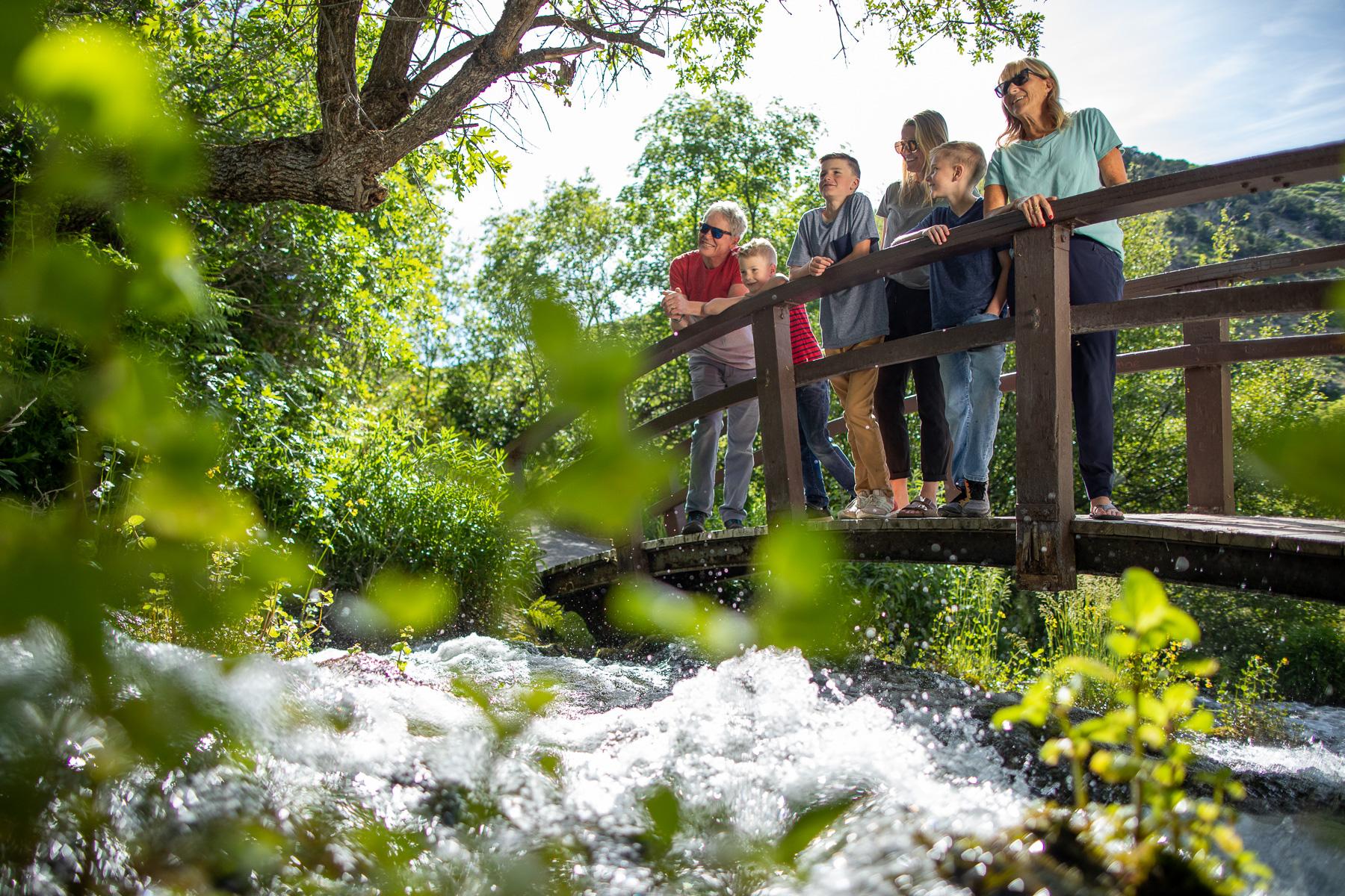
This beautiful destination lies north of the Mt. Timpanogos Wilderness Area and within the Uinta National Forest in the Wasatch Range. Seven million gallons of water a day flow down a series of limestone terraces and through pools among lush vegetation. The short half-mile nature trail wraps around the natural springs and streams with bridges, boardwalks, and paved pathways. Crystal clear waters make it easy to spot trout that inhabit the pools. Signs along the pathways explain the geology of this small natural wonder. This is an enjoyable destination for families and hikers of all ages. Ample parking is available and public vault restrooms are onsite. More information available here. >> Location & Directions <<(opens in new tab)

STEWART FALLS
This waterfall is one of the most scenic and is very popular among hikers. Located at the end of Stewart Falls Trail - a 3.4 mile heavily trafficked out and back moderate trail near Aspen Grove, Utah - the water falls in two tiers and is over 200 feet tall. The trail offers a number of activity options and is best used from May until October. Dogs are also able to use this trail. Additional access is located at the renowned Sundance Mountain Resort, where guests can hike up to the falls or take a scenic chairlift ride up and be dropped near the base of the falls. >> Location & Directions <<(opens in new tab)

DONUT FALLS
This easy hike is very popular for families and heavily trafficked on weekends. If possible, hiking during the week will allow for a more tranquil experience and greater likelihood to park near the trailhead. Located approximately 9 miles up Big Cottonwood Canyon, follow signs to the Mill D Trailhead, take a right towards the Jordan Pines picnic area and look for signs for the Donut Falls trailhead parking lot. The trail is wide with a slight elevation gain. Total distance is 3.5 miles out and back. The best time to hike to donut falls is during the summer months. The wildflowers come out in mid-July and last through the beginning of August. Hiking in the fall is also quite pleasant, just dress in layers for the autumn weather. Add a gorgeous scenic drive to your route to the falls and drive Guardsman Pass (closed during winter). >> Location & Directions <<(opens in new tab)

PROVO RIVER FALLS
The Provo River flows along Highway 150 in the Uinta Mountains and is accessible via Mirror Lake Scenic Byway. A parking area and overlook are provided along the highway with a short paved trail that leads down to the waterfall and river. The area is very scenic and very popular. It is recommended to get to the sight early on the weekends or visit during the week. During the heat of summer, it is fun to wade in the water to cool off. The current can be swift during the spring and early summer. If you have time, plan for a hike along the river or around any of the hundreds of natural area lakes. >> Location & Directions <<(opens in new tab)